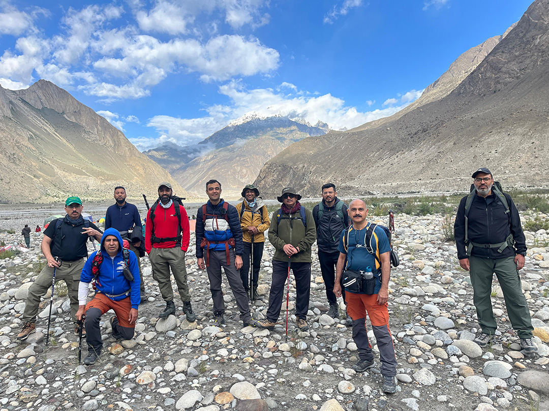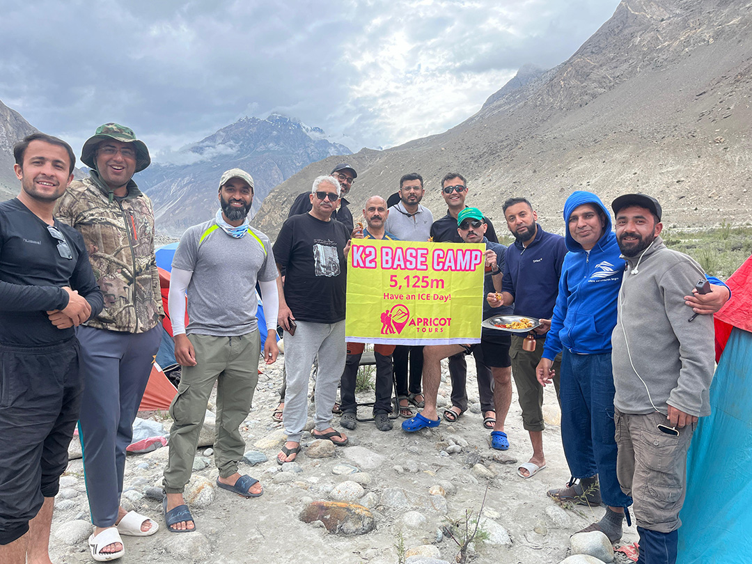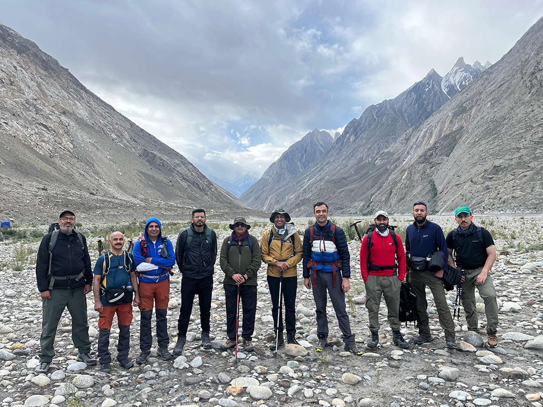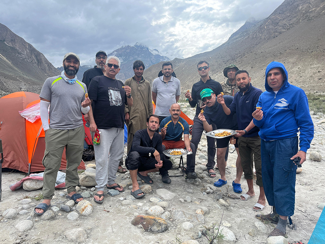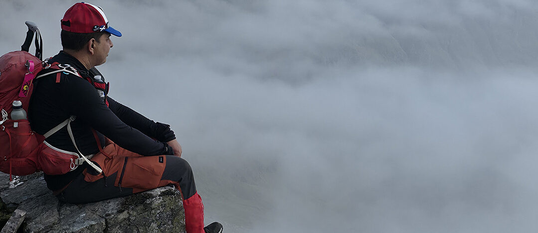
K2 Base Camp Pakistan
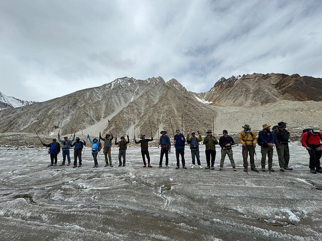
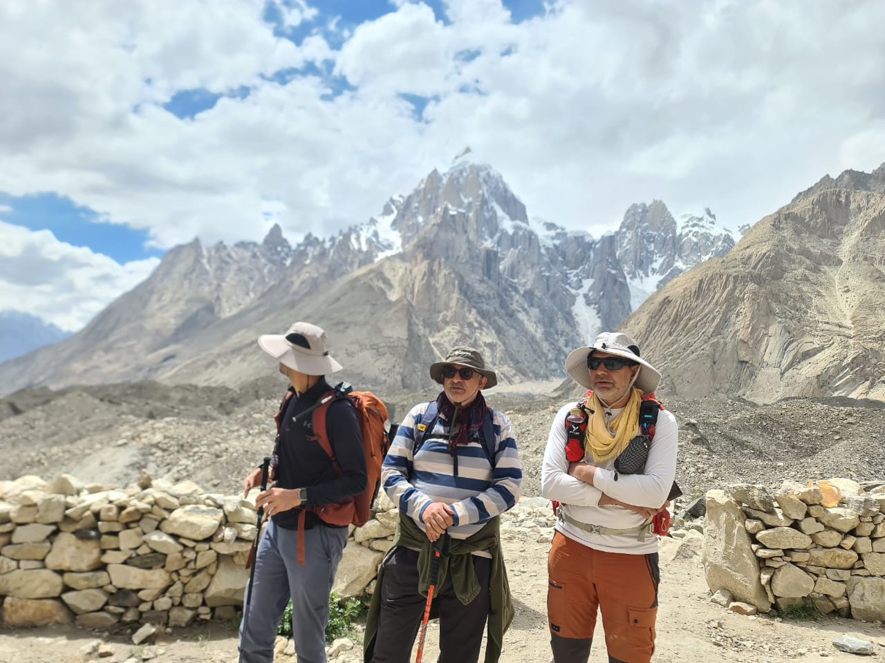
OUR TEAM FOR THIS ADVENTURE
Expedition Details

Day 1: Arrive at Islamabad International Airport, Islamabad:
Islamabad is the capital city of the Islamic Republic of Pakistan. It is the country's ninth-most populous city with a population of over 1.2 million people and is federally administered by the Pakistani government as part of the Islamabad Capital Territory. Its elevation is 507 metres (1,663 ft), the highest point at Margalla Hills Tilla Peak. Which is 1604m. Things to see in Islamabad are Faisal Mosque, Margalla Hills, Pakistan Monument Museum, Rawal Lake, Daman-e-Koh etc.
Day 2 & 3: Islamabad to Skardu, Karakoram
Skardu (word meaning "a lowland between two high places) is a city located in Gilgit-Baltistan Pakistan. Skardu serves as the capital of Skardu District and the Baltistan Division. Skardu, along with Gilgit, is a major tourism, trekking and expedition hub in Gilgit–Baltistan. The mountainous terrain of the region, which includes four of the world's 14 Eight-thousander peaks, attracts tourists, trekkers and mountaineers from around the world. The main tourist season is from April to October; at other times of the year, the area can be cut off for extended periods by the snowy, freezing winter weather. Skardu now has a scenic airport which is now open for international flights courtesy of companies like Destination Pakistan who relentless lobbied to facilitate international tourist. Its Altitude is 2,498 m
Day 4: Drive to Askole village
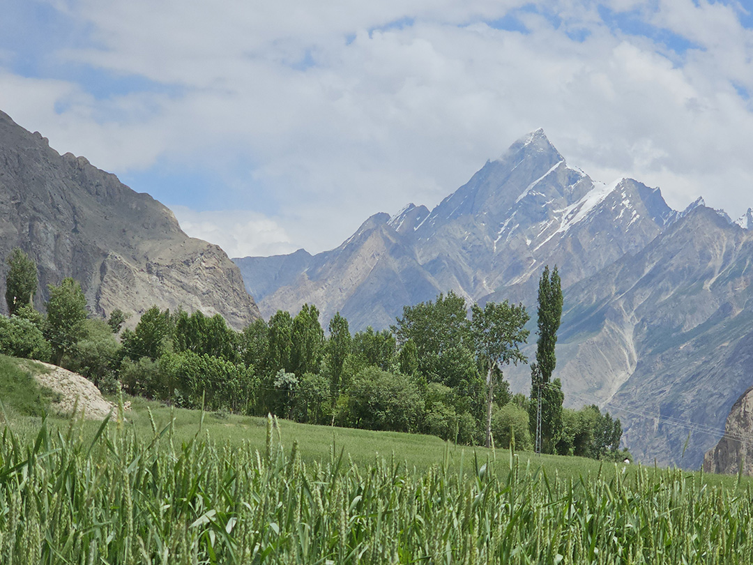
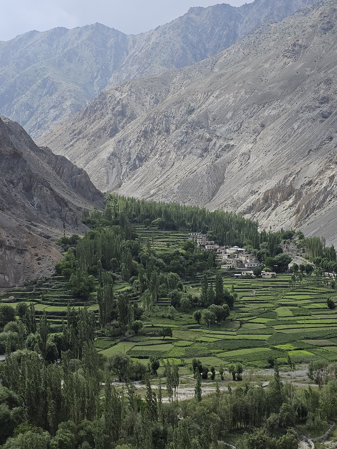
Altitude: 3,015 m: Askole village is is small town located in Shigar Valley, in the Gilgit–Baltistan region of Pakistan and located about 85 kilometres from Skardu, Pakistan. Askole Village, Pakistan's highest and most remote village, the last human settlement before trek up to Baltoro Glacier to Concordia and highest peak and longest glaciers (outside polar region) on earth. The Askoe village is famous for gateway to Great Mountain on earth and longest glaciers on earth outside polar regionand is the starting point of the trek to Baltoro Glacier, Biafo Glacier, Chogtai Glacier. The Climbing and trekking expedition stay here for a night and arrange porters. Askole village is gateway to K2, Broad Peak, Gasherbrums, Muztagh Towers, Uli Biaho Tower, Paiyu Peak, Baintha Brakk and Latok Peaks, and many other peaks.
Day 5: Trek from Askole to Jhola via the snout of Biafo Glacier
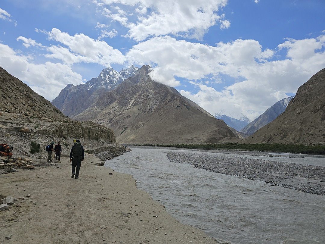
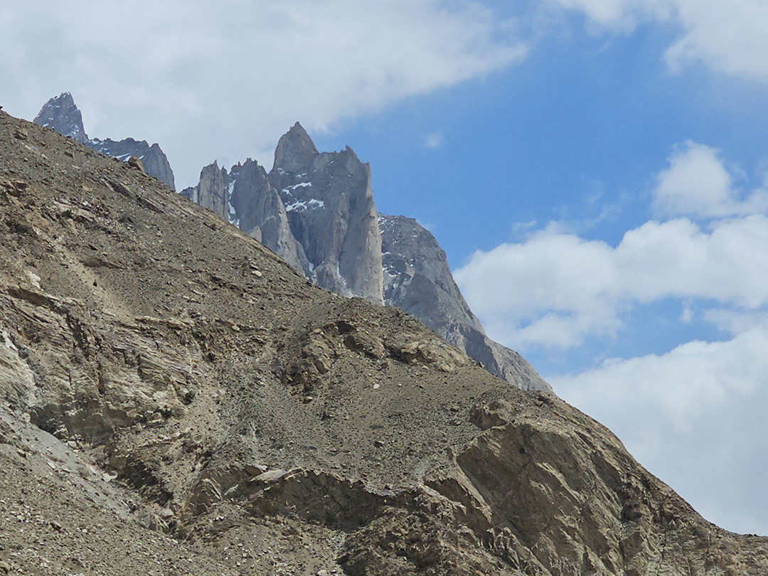
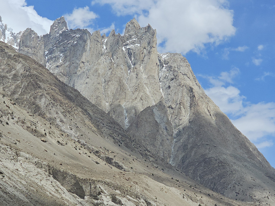
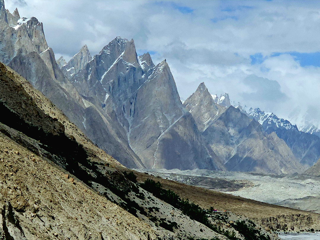
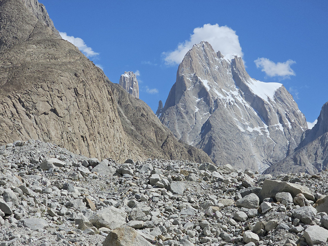
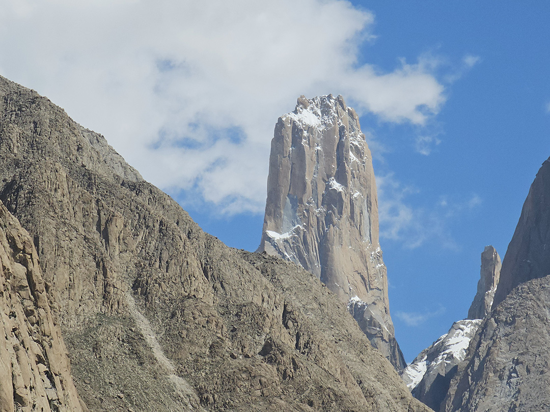
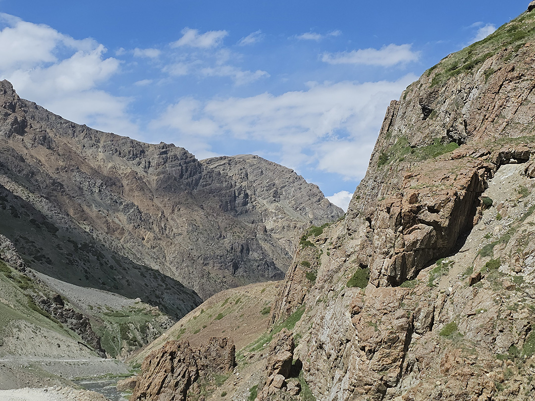
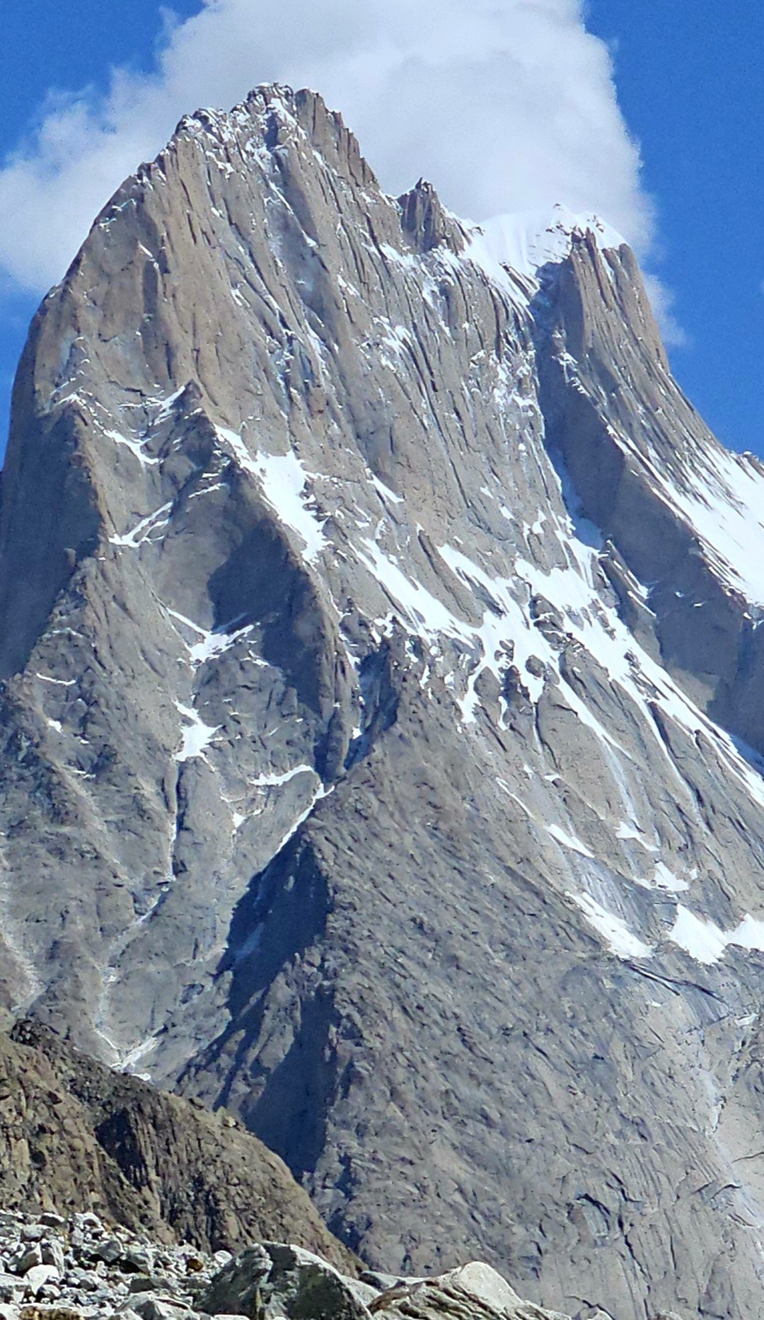
Altitude: 3,418 m - Distance: 19.8 km - On this day of our K2 base camp trek the participants will follow the Braldu gorge, along the bank of Braldu river. The participants will be able to view astonishing rocks of Trango Tower and Cathedral Peak. The participants should prevent themselves from possible sun burns and during this day as the walking conditions can be very dry and hot. Several streams from glacier flow down into the valley and on the way the participants will have to use river crossing shoes depending on the water levels. The participants will be able to spot the snout of Baltoro Glacier on a clear day. On this day the participants will end their day by climbing away from the river to camp at Paiju, the last camp where you will see trees until for a while.
Day 06: Trek from Jhola to Paiju following the Braldu river
Altitude: 3,418 m - Distance: 19.8 km - On this day of our K2 base camp trek the participants will follow the Braldu gorge, along the bank of Braldu river and will be able to view astonishing rocks of Trango Tower and Cathedral Peak. The participants should prevent themselves from possible sun burns and during this day as the walking conditions can be very dry and hot. Several streams from glacier flow down into the valley and on the way the participants will have to use river crossing shoes depending on the water levels. The participants will be able to spot the snout of Baltoro Glacier on a clear day. On this day the participants will end their day by climbing away from the river to camp at Paiju, the last camp where you will see trees until for a while.
Day 07: Acclimatize and rest in Paiju
Altitude: 3,418 m- Paiju is actually a Peak (6 610m/21 686ft) of a mountain in the Karakoram in Pakistan. The prominence is 582m/1 909ft. The participants will spend the day at Paiju Camp for acclimatization and rest. However, the porters will take their time to bake themselves bread for next week on the glacier. Acclimatization walk can also be taken towards Paiju Peak base camp on this day.
Day 08: Trek from Paiju to Khoburtse
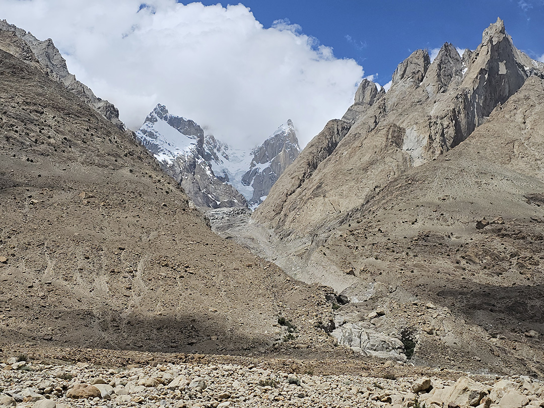
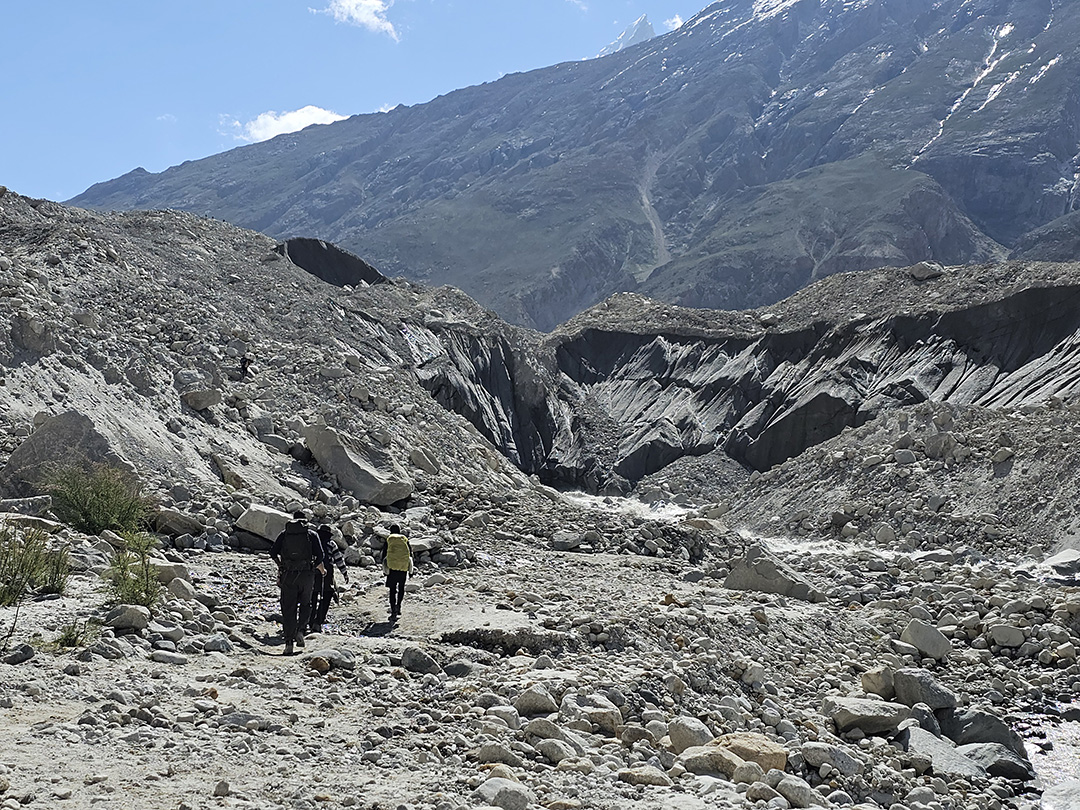
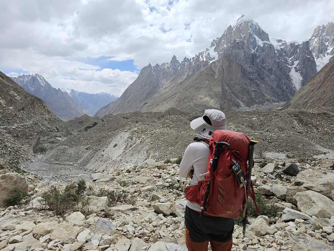
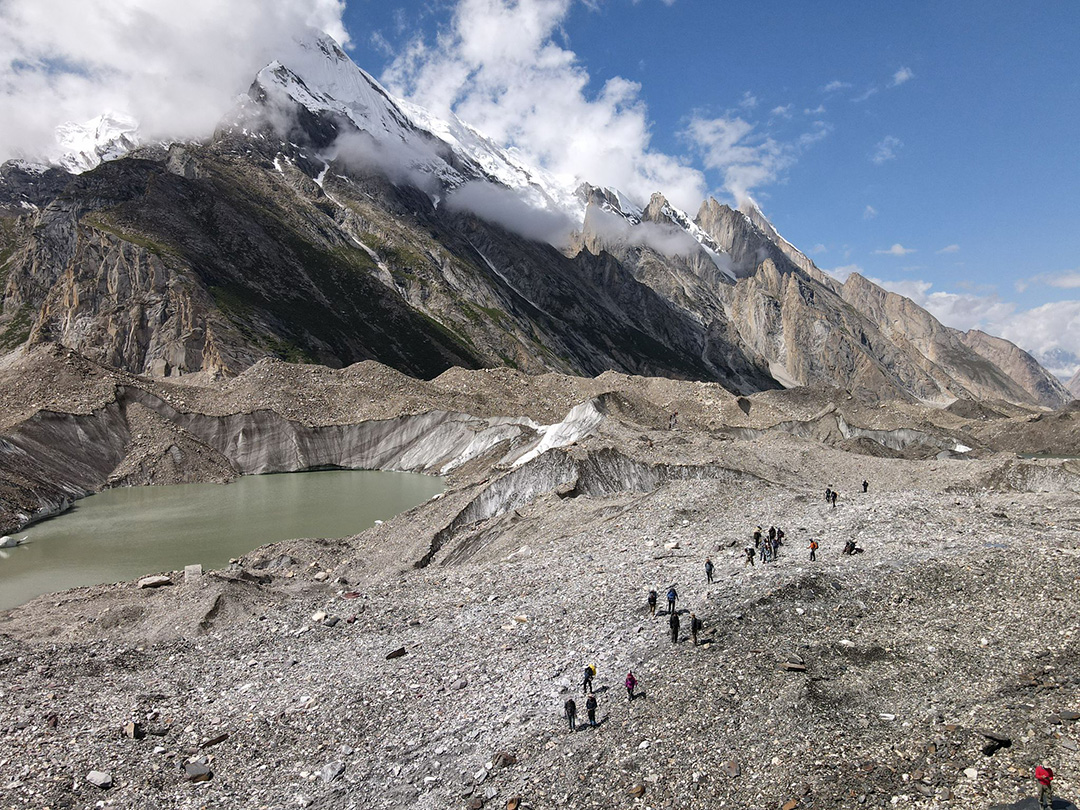
Altitude: 3,788 m - Distance: 14.7 km - On this day the walk will get tough however the scenery will become amazing with each step taken onto the snout of Baltoro Glacier. The trail has continuous up and down climbs on the glacial moraine, although the trail is quite safe but it is highly recommended to be careful at all times. The participants will experience the stunning views as they move ahead; the views of Trango Tower and Uli Biaho. The participants are required to go across the glacier to Liligo. From this point the participants will follow a rocky trail which is along the edge of the Baltoro or sometimes to Khoburtse, the side of the glacier where camp will be made.
Day 09: Cross small glaciers and walk to Urdukus
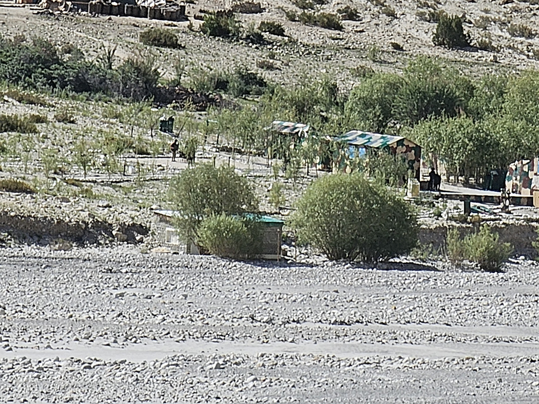
Data Altitude: 3,905 m - Distance: 6.4 km - Trango Towers can be eventually seen after coming across two small glaciers. For the following night the participants will make their stop at Urdukas near the army camp. The camp is 100m above the glacier.
Day 10: Trek to Goro II, the junction of the Baltoro glaciers and Young husband
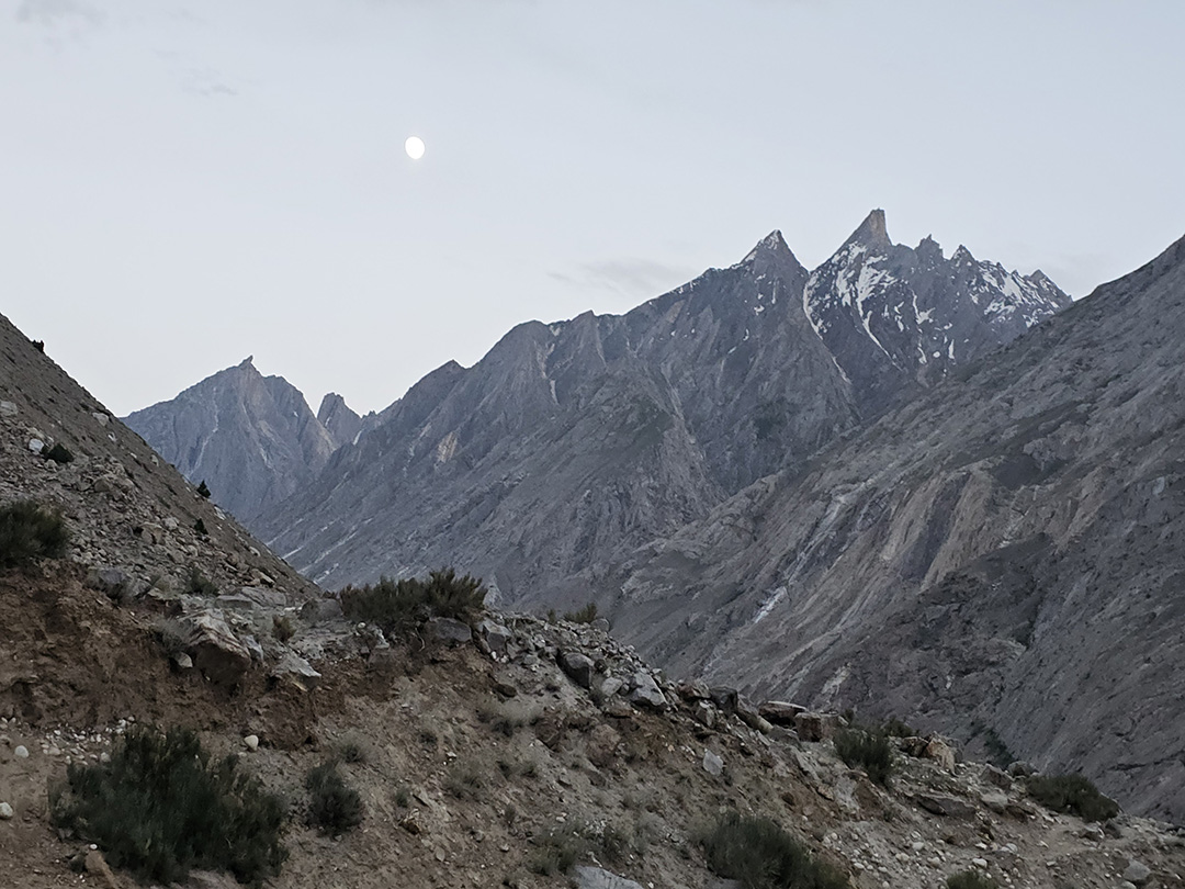
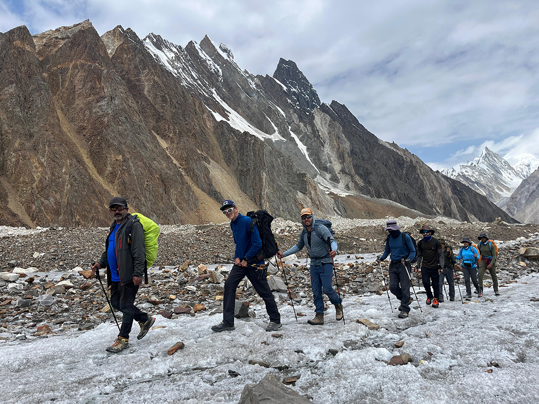
Altitude: 4,285m - Distance: 11.9 km- On this day of our K2 base camp trek, the participants will be walking in the middle of the glacier. The medial moraine will be followed, to the south we will get the views of Masherbrum (7821m). The participants will be climbing up and down on the rocky moraine and as the participants move ahead, they will walk pass massive ice seracs (A serac is a block or column of glacial ice, often formed by intersecting crevasses on a glacier. Commonly house-sized or larger, they are dangerous to mountaineers, since they may topple with little warning. Even when stabilized by persistent cold weather, they can be an impediment to glacier travel). This will be the first night stay camp on Baltoro Glacier at Goro II, it is the confluence of Baltoro Glacier and Younghusband. The temperature may drop dramatically. Masherbrum and Muztagh Tower will be uncovered for the sight.
Day 11: Trek to Concordia through a rocky moraine
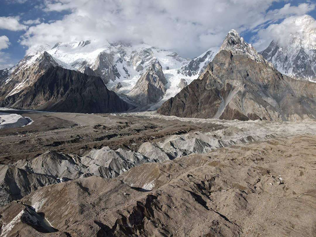
Altitude: 4,512 m - Distance: 11.7 km- On this day of the K2 base camp trek, the participants will reach Concordia after continuously walking up the moraine, on the way more and more high snow-capped peaks will appear, the culmination for the sighting of K2 will be experienced on this day. Other peaks that can be seen include Broad Peak, Mitre Peak, Gasherbrum, Sia Kangri and many more.
Day 12: Trek to Broad Peak BC, Gilkey Memorial and K2 Base Camp
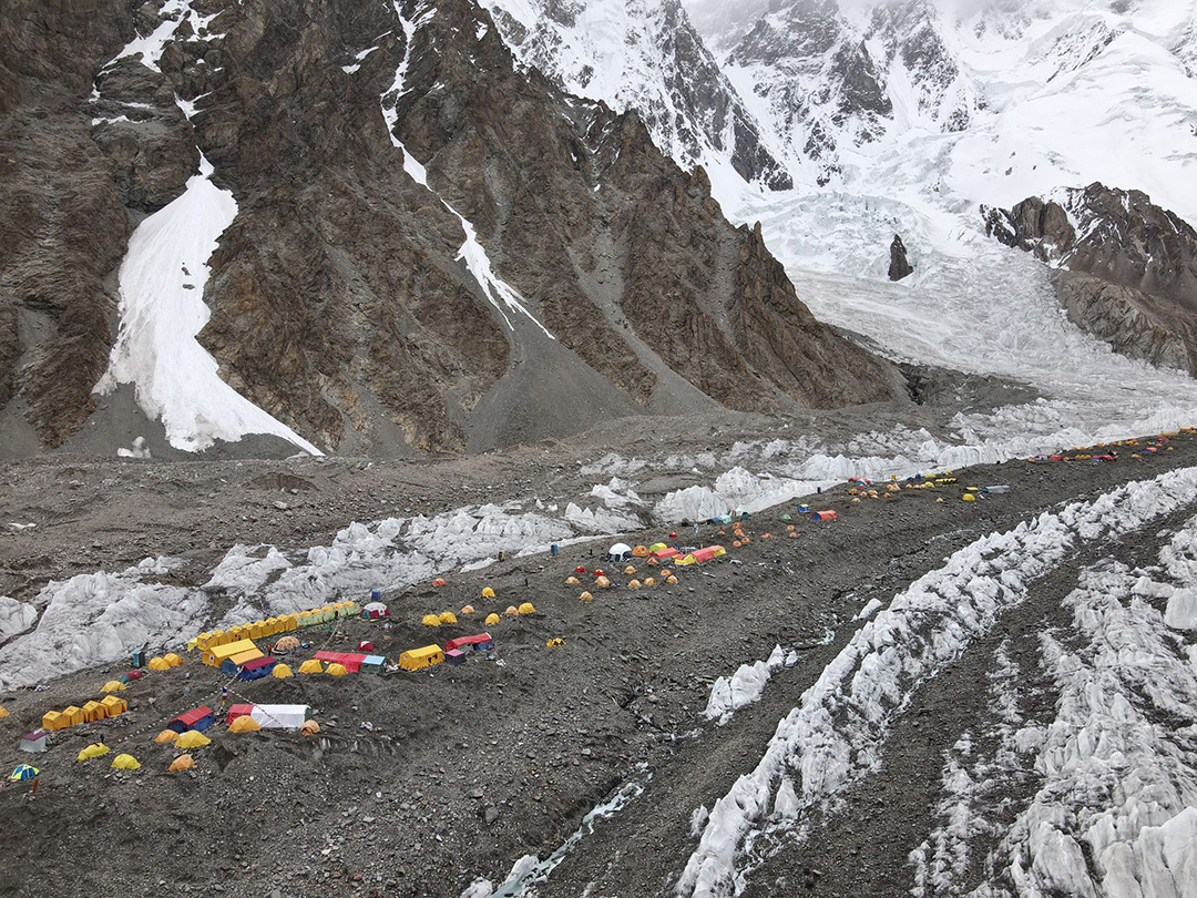
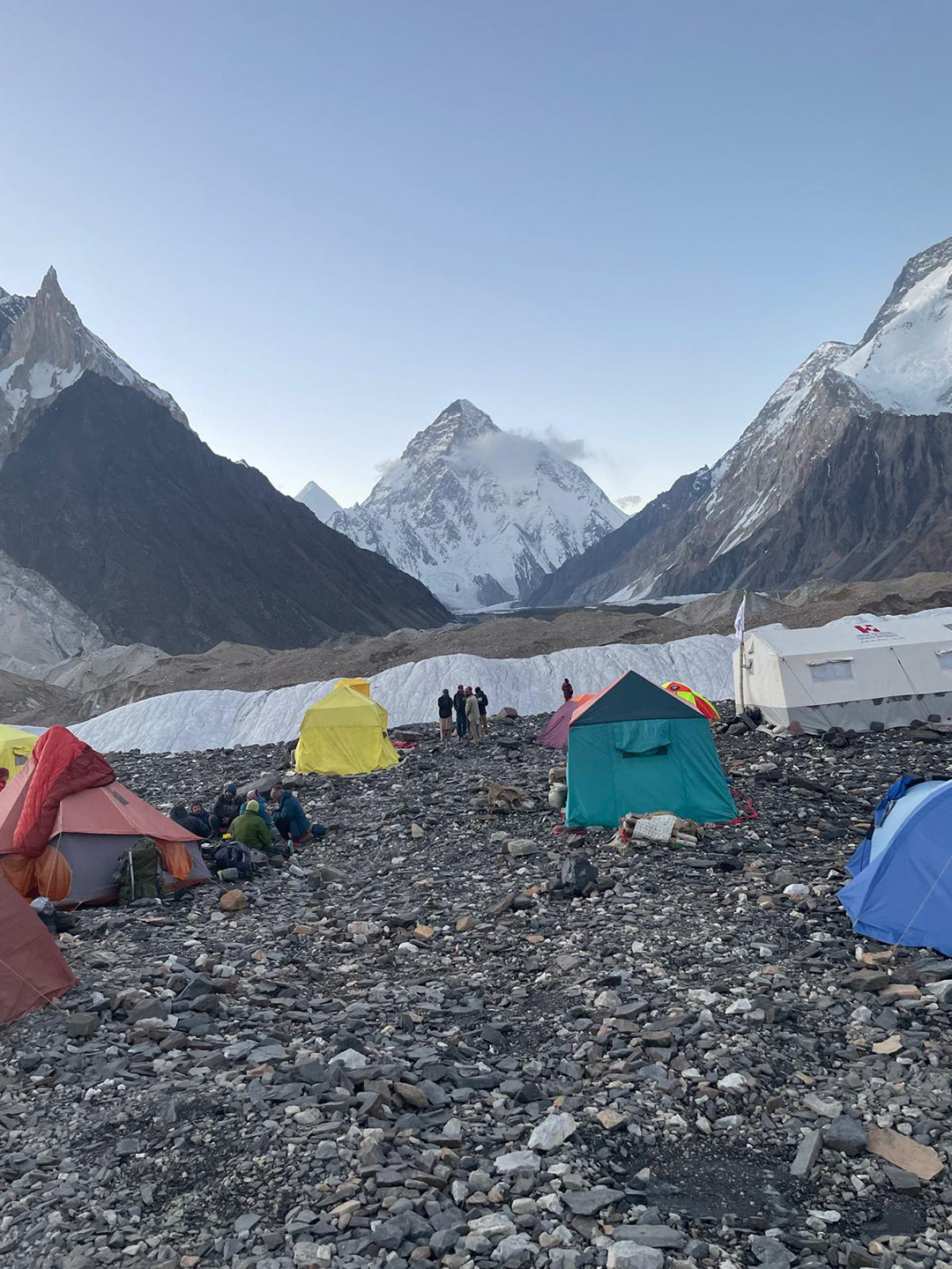
K2 BC (5,155m) + Gilkey (5,230m)+ Broad Peak (4,844m) - Today there is the opportunity to walk up the Godwin-Austen glacier to the Art Gilkey Memorial (an American geologist and mountaineer) just before K2 Base camp. This is a spectacular day. We will leave early morning, crossing the glaciers onto the faint trail heading towards K2 (there is a faint rocky trail all the way). As we follow the glacier towards K2 the mountain seems to grow bigger and bigger. Broad Peak rears up to our right and after about 3 hours we pass Broad Peak base camp. We usually have our lunch break here and then carry on with K2 towering above us as we get closer and closer. Just before base camp, amongst the boulder and ice strewn landscape is the Art Gilkey Memorial. A short scramble brings us to the place where those whose life K2 claimed are remembered. Plaques and engraved tin plates are attached to a small rocky outcrop at the foot of this great mountain. There are great views directly above us of K2 and we may see some climbing expeditions. We spend the night at the base camp of K2.
Day 13: Trek back to Concordia and rest
On this day, we retrace our steps back to Concordia and rest for next day's walk.
Day 14: Trek to Ali Camp
On Day 14, the participants will set out on slightly different and less explored route. Short de tours will be made to avoid crevasses and the participants should walk on rugged ice rather than slippery ice. In case of snow, the participants and the porters will walk together wearing crampons for safety hooked with rope to each other. The base will be set in Ali camp, where the participants will reach after hiking for 5-6 hours. “Ali Camp” is name after a local porter, who was the first person to cross Gondogoro La Pass. Upon reaching the base some basic skills will be taught to the participants for the next day, which would be the crossing of Gondogoro La Pass.
Day 15: Trek to Khuispang over Gondogoro La
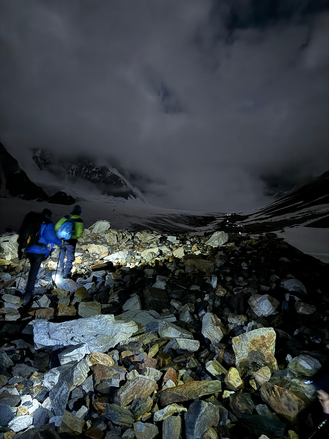
On this day the participants will wake up as early as 2 am. After gearing up and having breakfast the participants roped as one uni will depart for the Gondogoro La base. Depending upon the situation our support crew will be there to fix ropes or helping the members out with the gears. It takes about 3 hours to get to the top of Gondogoro La Pass (Gondogoro Pass is a mountain pass that stands at an elevation of 5585 meters. It is located in the Baltistan region of Pakistan, approximately 25 km south of the world's second-highest peak, K2. This pass serves as a connection between the Gondogoro Glacier to the southwest and the Vigne Glacier to the northeast.). You get to see and experience a breath-taking of all four 8000ers in the baltoro region. (K2, G1, Broad Peak, G2). While, descending to the other side, fixed ropes will be utilized to the full extent, and use of crampons is vital for the safety of the members. The members will get the views of the beautiful and sword head shaped Laila Peak (6,096m) and one can also has the views of other trinity peaks. The members will have to be extra careful while descending and watch out for every step they take to avoid jolting stones on their team members. Upon descending for the slope, the trails become easy and the participants will move on the moraine. The camp will be set up in the junction point of Gondogoro and Trinity Glacier called Khuispang (4,600m).
Day 16: Trek to Saicho
The participants will continue hiking down, Since the hike downwards would be a comparatively easy hike so the climbing equipment i.e. ropes, crampons will be packed while descending. The mountainous and rocky terrain will be taken over the lush green landscapes of Hushe Valley. After lunch, the participants will continue hiking to the edge of the Gondogoro Glacier, upon reaching the edge they will find a trail which will lead them to the beautiful valley of rhubarb and grass. At the end of the valley there are 02 different routes to the destination. Our guide with the consent of local porters will decide the trails they are being frequently used. The trek gets easy when the two trails meet. The members will see the huts made of stones by herders and local settlers. On this day the participants will experience the sign of the settlements in the area and will be able to breathe easily due to big trees and lower altitude. Camp will be setup at Saicho (3,350m), a part of sand with little grass along the flowing glacier water steams.
Day 17: Trek to Hushe
Altitude: 2,498 m - Distance: 20 km trek + 127 km drive - On this day the participants have to trek down for only 3-4 hours, the river stream of glacier melted water of Charakusa, Ailling, Masherbrum and Gondogoro Glaciers. The participants will start see the signs of residences, shelter, fiels and signs of people living. The participants will experience the 2 storey shelters of the Hushe village, where the ground floor is for cattle and the first floor is for the family to live. After setting up the camp the participants can explore the beautiful hushe valley and interact with the locals. This would be the last camping day of the Gondogoro La Trek.
Day 18: Drive to Skardu
Upon reaching Hushe, the participants will depart for Skardu town from Hushe and the journey offers a lot of beautiful scenes of the different small village of the Hushe Valley. The participants will cross a suspension bridge above Shyok River (which flows from Ladakh, India) to get to the other side. In the past traditional rafts, which were made of goat skin fill with air were used to cross the river. The suspension bridge which is use now to cross was built in 1990’s. Upon crossing the bridge, the participants will the reach Khaplu. The drive from Khaplu to Skardu becomes smooth and the route to be followed is the paved road along the shayok river which leads to the confluence with Indus River. Upon driving along Indus River, the Participants will reach Skardu in 4 hours. The participants can have the facilities which they did not have for 02 weeks. The first on that list would be taking a hot shower and secondly having a good meal.
Day 19: Fly to Islamabad
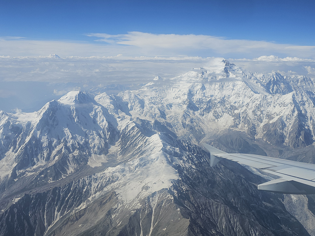
On this day the participants will take a flight from the airport in Skardu to Islamabad airport. You will have a good time to relax at the hotel in Islamabad. The domestic flights sometime get cancelled due to weather conditions. In case of flight cancellation, you will drive to Chilas for overnight. It takes eight to ten hours by a vehicle.
Few days chillout and sight seeing in Punjab, Pakistan and then head back to my Stunning Scotland.
Our Charity Partner